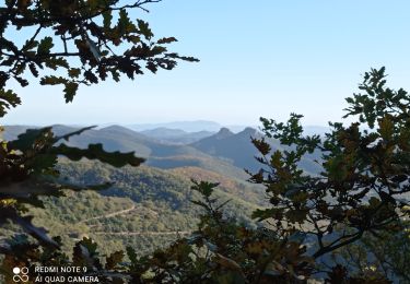
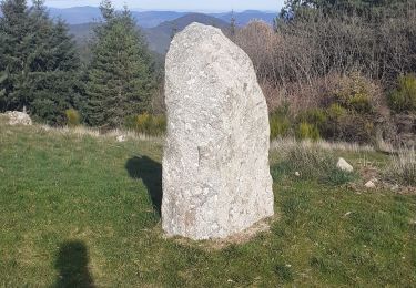
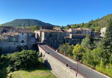
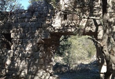
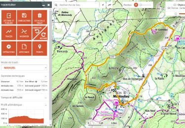
Trail Walking La Cadière-et-Cambo - Cambo - La Collette - Photo
 ARVIEU
ARVIEU

User

© OpenStreetMap contributors
Length
Length
19.6 km
Max alt
Max alt
925 m
Uphill gradient
Uphill gradient
732 m
Km-Effort
Km-Effort  
29 km
Min alt
Min alt
298 m
Downhill gradient
Downhill gradient
733 m
Boucle
Boucle
Yes
Creation date :
2023-02-19 09:29:33.416
Updated on :
2023-02-19 09:34:51.545

(0 Reviews)

Walking
Walking
5h30
Difficulty : Difficult

Scan this QR Code to open this trail in the SityTrail application

FREE GPS app for hiking

Logo SityTrail SityTrail

IGN / Geographical institutes

Download SityTrail from the App Store Download SityTrail from Google Play

Logo SityTrail SityTrail World

The world is yours!

Download SityTrail from the App Store Download SityTrail from Google Play Download SityTrail on Huawei AppGallery

About

Trail Walking of 19.6 km to be discovered at Occitania, Gard, La Cadière-et-Cambo. This trail is proposed by ARVIEU.

Elevation profile

Photos

Positioning

Country:
France
Region :
Occitania
Department/Province :
Gard
Municipality :
La Cadière-et-Cambo
Location:
Unknown
Start:(UTM)
565029 ; 4868335 (31T) N.

Trails nearby

Trail Walking La Cadière-et-Cambo - CAMBO - MONTAGNE DE LA FAGE - 7.6Km - 02h20 - Dénivelé 285 m - Photo
Walking
dansmabulle

Walking

Medium
(1)
La Cadière-et-Cambo, Occitania, Gard, France
7.6 km | 11.2 km-effort
2h 29min
Yes
Trail Walking Sumène - 30 les crêtes des cagnasses,a la fage 15/11/23 - Photo
Walking
silvestreclaudine

Walking

Very difficult
Sumène, Occitania, Gard, France
17 km | 26 km-effort
5h 13min
Yes
Trail Walking Saint-Roman-de-Codières - st roman de codieres - Photo
Walking
toinou30

Walking

Medium
Saint-Roman-de-Codières, Occitania, Gard, France
16.2 km | 24 km-effort
6h 11min
Yes
Trail Road bike Saint-Hippolyte-du-Fort - St hippolyte Sumène  - Photo
Road bike
GUIDE
Roger Philippe Wallez

Road bike

Very difficult
Saint-Hippolyte-du-Fort, Occitania, Gard, France
46 km | 54 km-effort
3h 18min
Yes
Trail Walking Saint-Hippolyte-du-Fort - 30  Roquefourcade 16-03_23 - Photo
Walking
silvestreclaudine

Walking

Very difficult
Saint-Hippolyte-du-Fort, Occitania, Gard, France
17.1 km | 24 km-effort
6h 37min
Yes
Trail Walking Sumène - Cézas Prieuré St Martin - Photo
Walking
LBarel

Walking

Medium
Sumène, Occitania, Gard, France
6.2 km | 9.5 km-effort
2h 25min
Yes
Trail Walking Montoulieu - Mont Haut  - Photo
Walking
Galoche

Walking

Difficult
Montoulieu, Occitania, Hérault, France
12.9 km | 18.6 km-effort
4h 50min
Yes
Trail Walking Sumène - de cezas au prieuré aux cagnasse aux mont la fage - Photo
Walking
labarone

Walking

Medium
Sumène, Occitania, Gard, France
17.6 km | 27 km-effort
6h 11min
Yes
Trail On foot Montoulieu - montoulieu-7km-2h30 - Photo
On foot
famillerudent

On foot

Very easy
Montoulieu, Occitania, Hérault, France
6.1 km | 8.1 km-effort
Unknown
Yes


Close
My subscriptions